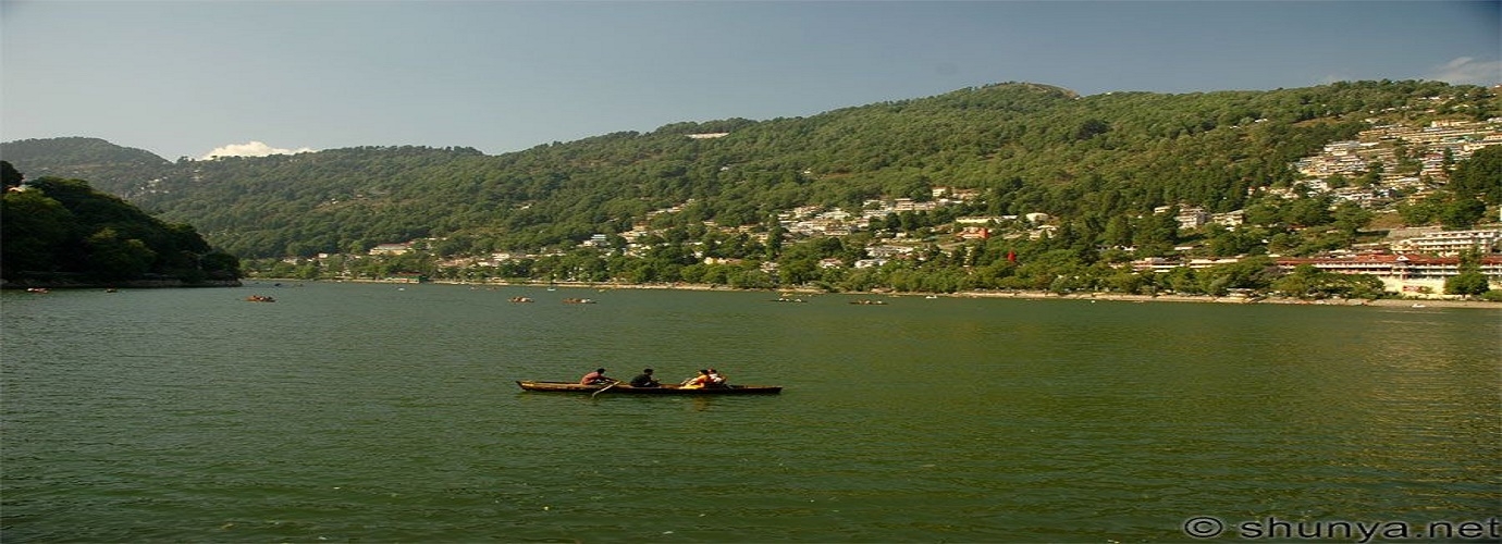
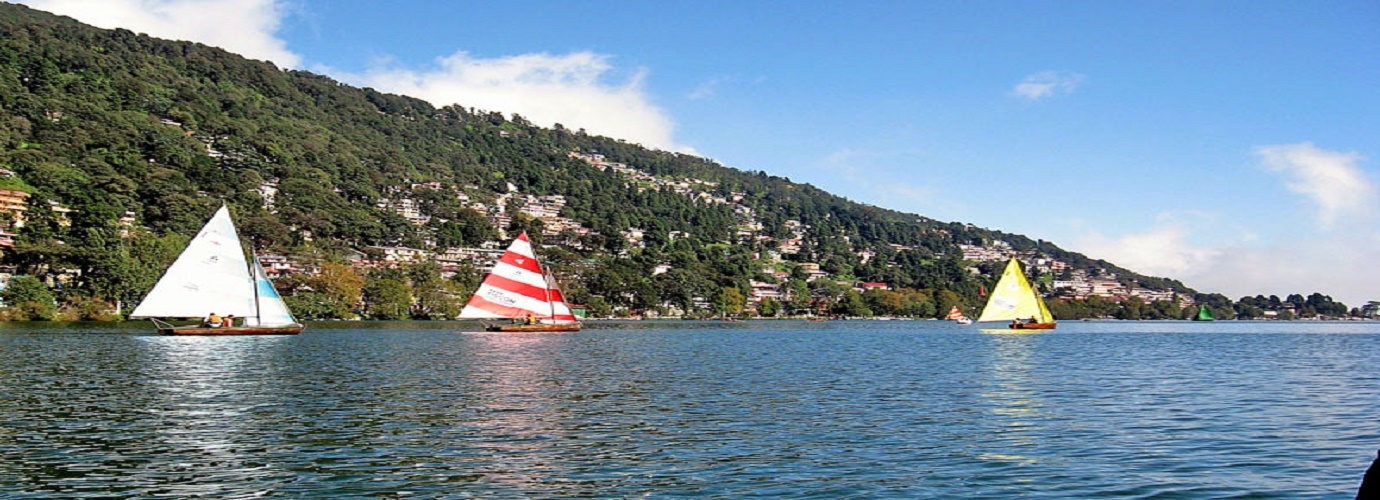
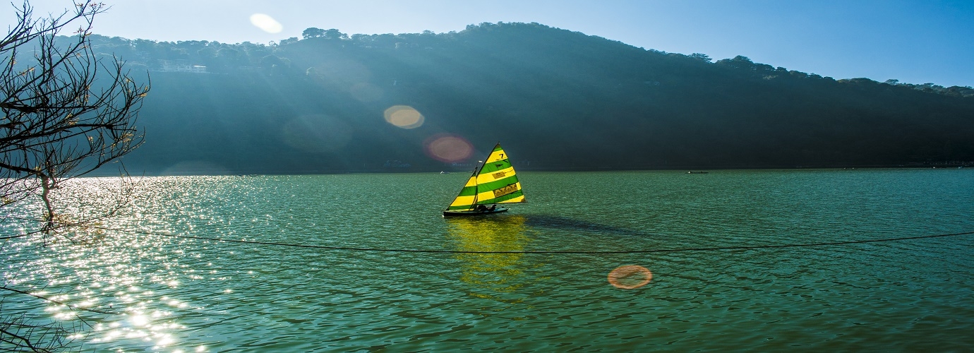
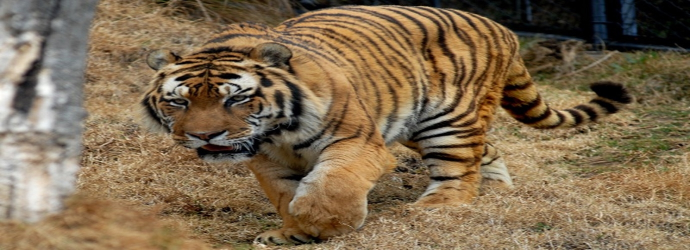
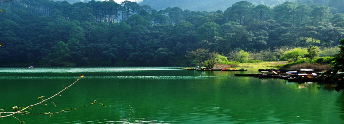
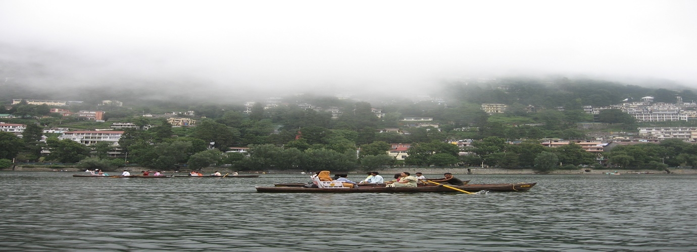
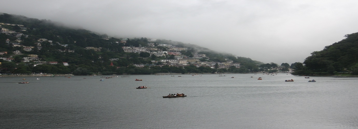
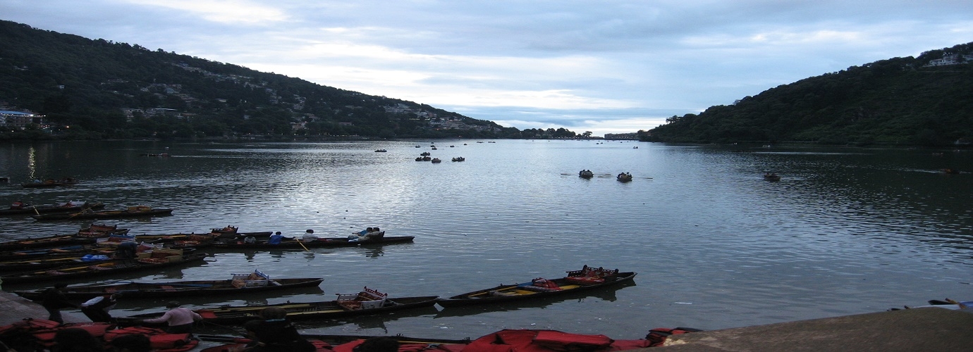
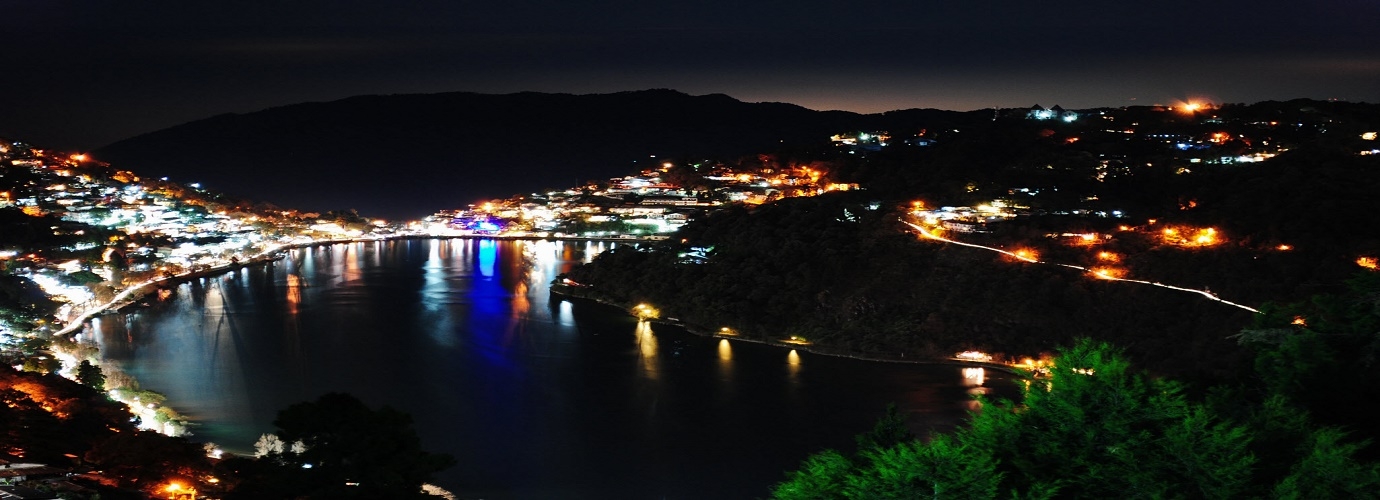
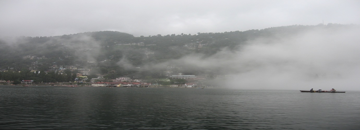
In 1841, the British first discovered Nainital as a holiday resort. Today, the town has emerged as one of the most important hill resorts of India Nainital is a modem hill resort of northern India (336 kms from Delhi) connected by best-aligned and maintained roads from the railhead of Kathgodam. Railway line was laid up to Kathgodam in 1882. The road passes through forests where occasionally wild animals can also be seen. "Naini" is derived from the temple of goddess Naini which was built on the bank of the lake but later got destroyed due to land slides in the year 1880, The place is mentioned in Skand Puran as 'Trishul Sarover'. Tri Rishi (three sages Atri, Pulastiya and Pulha) had come there for pilgrimage while they were at Gagar range (now called China Peak), they felt thirsty and could not find any water. Thereafter, they thought of Man Sarover and dug a hole which at once got filled with water.
Nainital
Uttarakhand
North
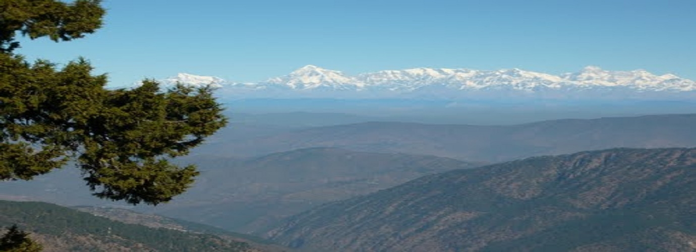
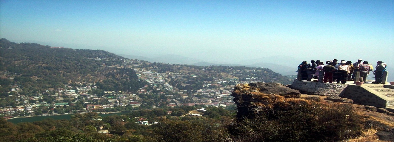
Nainital is a popular hill station in the Indian state of Uttarakhand and headquarters of Nainital district in the Kumaon foothills of the outer Himalayas. Situated at an altitude of 2,084 metres (6,837 ft) above sea level, Nainital is set in a valley containing a pear-shaped lake, approximately two miles in circumference, and surrounded by mountains, of which the highest are Naina (2,615 m (8,579 ft)) on the north, Deopatha (2,438 m (7,999 ft)) on the west, and Ayarpatha (2,278 m (7,474 ft)) on the south. From the tops of the higher peaks, "magnificent views can be obtained of the vast plain to the south, or of the mass of tangled ridges lying north, bounded by the great snowy range which forms the central axis of the Himalayas.
Distance from:
Pantnagar
67 KMNew Delhi
303 KMAgra
366 KMJaipur
563 KMNainital
Uttarakhand
North
Nainital is a popular hill station in the Indian state of Uttarakhand and headquarters of Nainital district in the Kumaon foothills of the outer Himalayas. Situated at an altitude of 2,084 metres (6,837 ft) above sea level, Nainital is set in a valley containing a pear-shaped lake, approximately two miles in circumference, and surrounded by mountains, of which the highest are Naina (2,615 m (8,579 ft)) on the north, Deopatha (2,438 m (7,999 ft)) on the west, and Ayarpatha (2,278 m (7,474 ft)) on the south. From the tops of the higher peaks, "magnificent views can be obtained of the vast plain to the south, or of the mass of tangled ridges lying north, bounded by the great snowy range which forms the central axis of the Himalayas.
Distance from:
Pantnagar
67 KMNew Delhi
303 KMAgra
366 KMJaipur
563 KMAbout Nainital
Places to Visit
How to Get There?
Airport
- Pantnagar-67 Km
- New Delhi-290 Km
- Agra-352 Km
- Jaipur-457 Km
Railway
- Pantnagar-35 Km
- New Delhi-285 Km
- Agra-352 km
- Jaipur-564 Km
Bus
- Pantnagar- 60 Km
- New Delhi- 275 Km
- Agra- 248 Km
- Jaipur- 551 Km
Road
- Pantnagar- 60 Km
- New Delhi- 275 Km
- Agra- 248 Km
- Jaipur-551 km

