Patnitop
Jammu & Kashmir
North
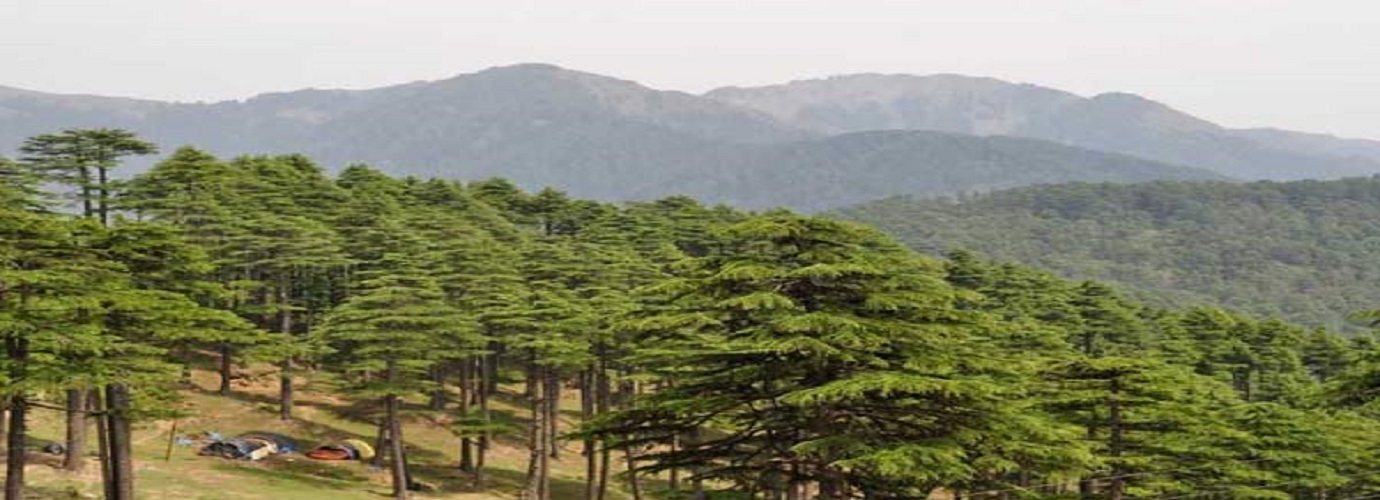
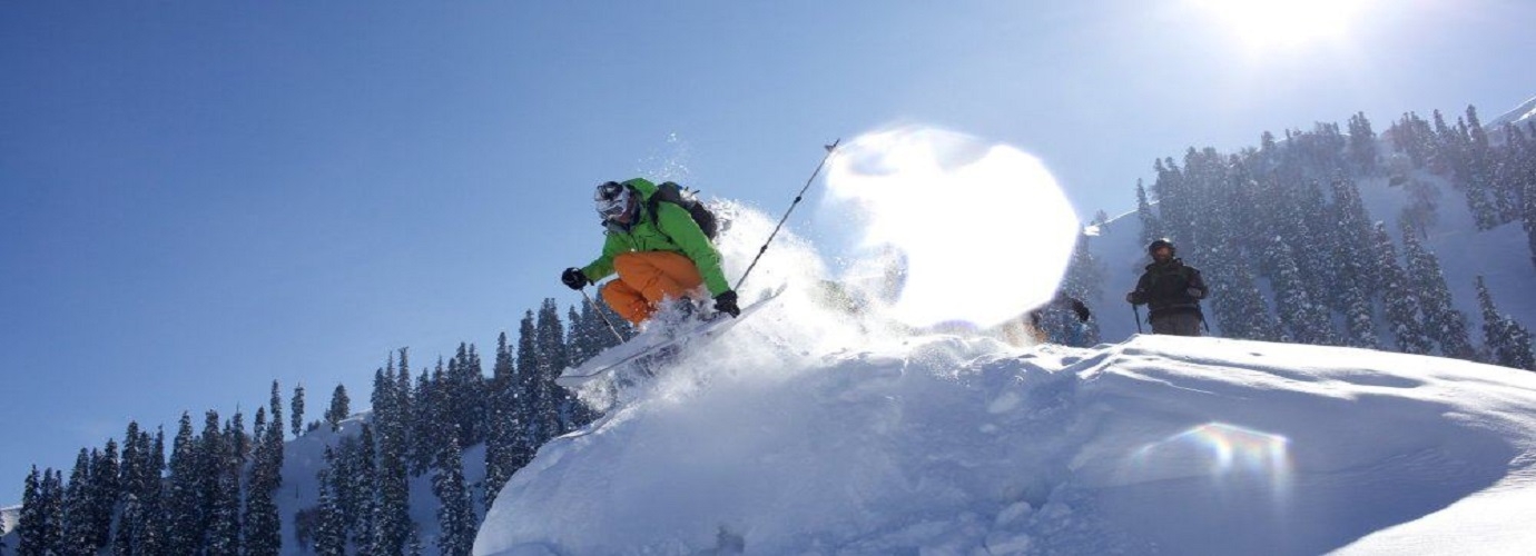
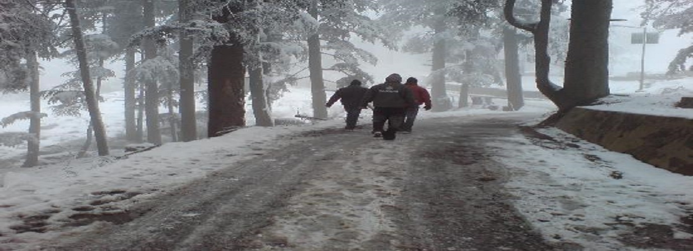
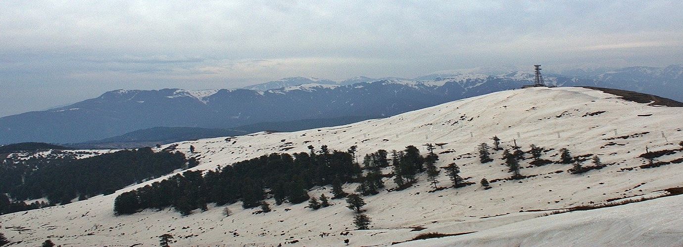
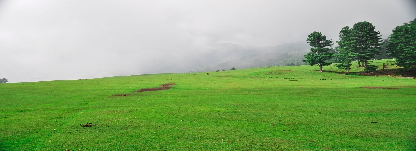
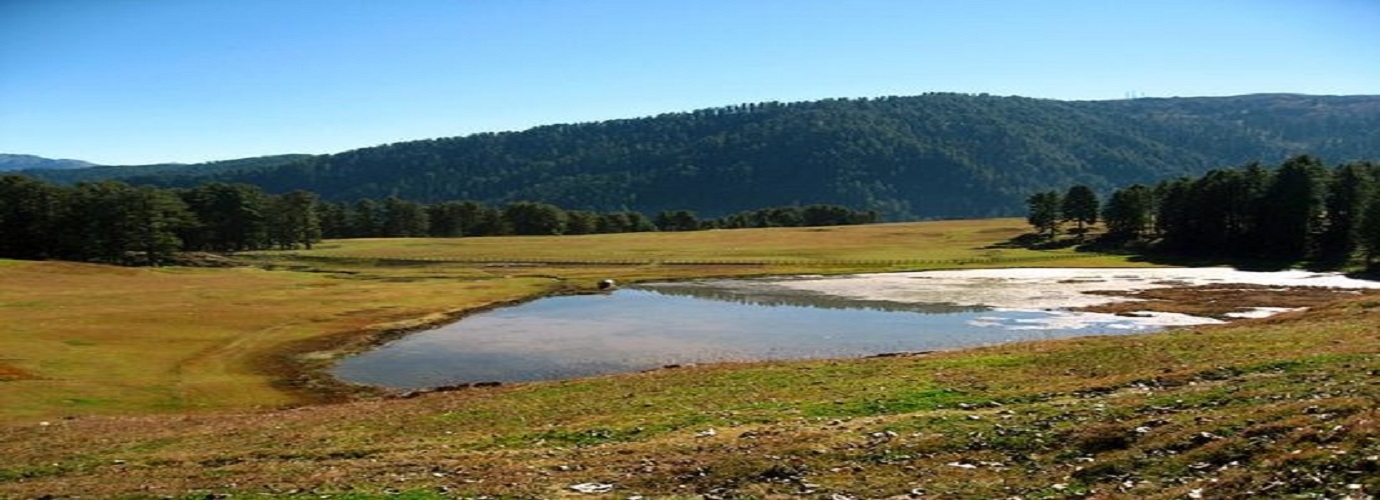
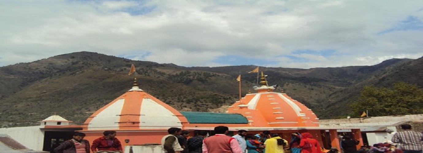
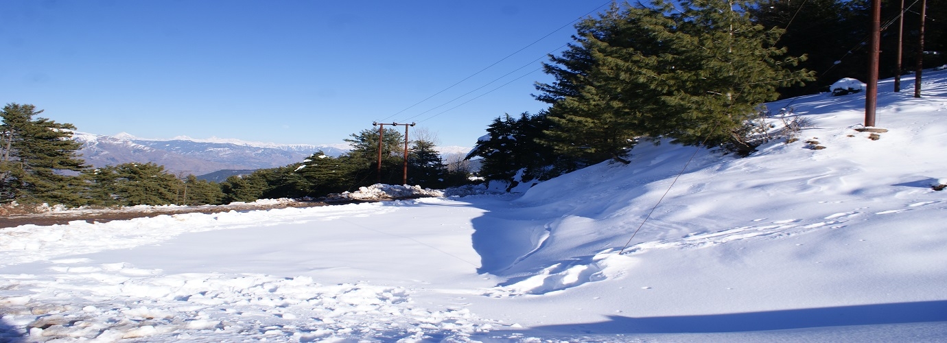
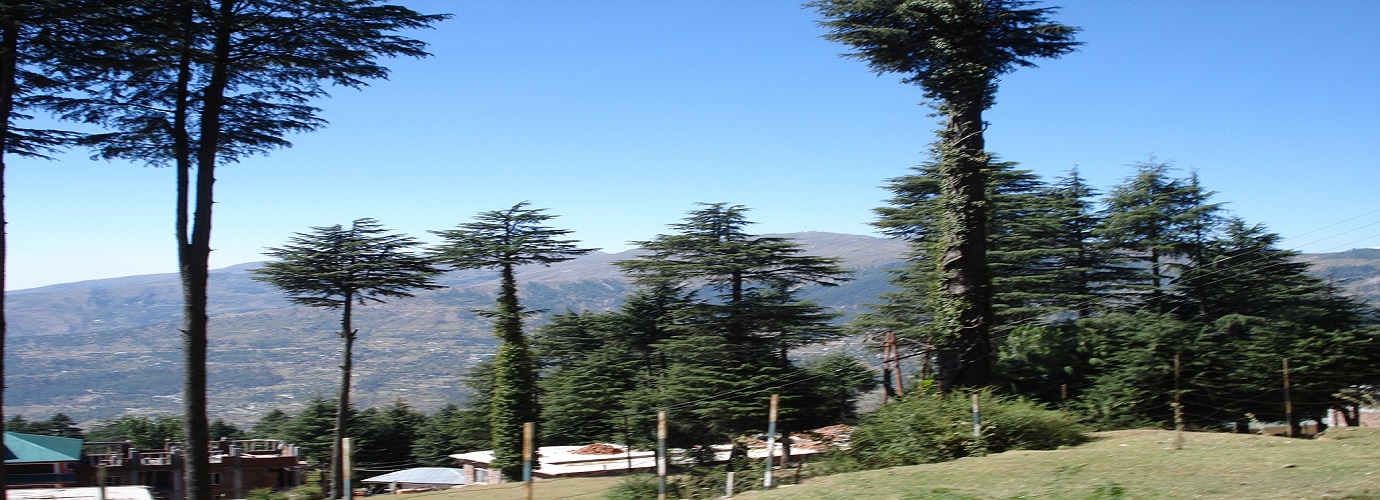
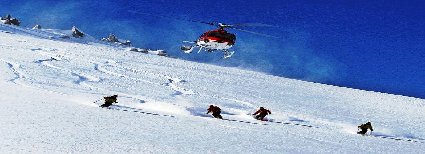
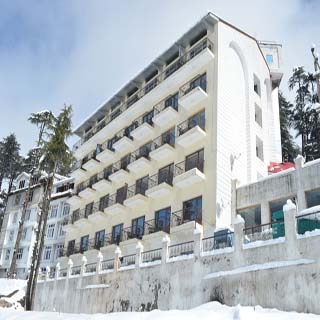
Patnitop or Patni Top is a hilltop tourist location in Udhampur district in Jammu and Kashmir state of India on National Highway 1A 112 km (70 mi) from Jammu on the way from Udhampur to Srinagar. Situated on a plateau in the Shiwalik belt of the Himalayas, Patnitop sits at an altitude of 2,024 m (6,640 ft). The river Chenab flows in close proximity to this location. India's longest road tunnel, the 9.2 km (6 mi) long Chenani-Nashri Tunnel or Patnitop Tunnel is being constructed starting from about 2 km (1 mi) from Chenani town south of Patnitop to Nashri village north of Patnitop to reduce the distance from Jammu to Srinagar and reduce traffic jams on NH-1A that occur due to snowfall and avalanche in winter at Patnitop.
Distance from:
Jammu
112 KMSrinagar
184 KMBaramulla
237 KMNew Delhi
670 KMPatnitop
Jammu & Kashmir
North
Patnitop or Patni Top is a hilltop tourist location in Udhampur district in Jammu and Kashmir state of India on National Highway 1A 112 km (70 mi) from Jammu on the way from Udhampur to Srinagar. Situated on a plateau in the Shiwalik belt of the Himalayas, Patnitop sits at an altitude of 2,024 m (6,640 ft). The river Chenab flows in close proximity to this location. India's longest road tunnel, the 9.2 km (6 mi) long Chenani-Nashri Tunnel or Patnitop Tunnel is being constructed starting from about 2 km (1 mi) from Chenani town south of Patnitop to Nashri village north of Patnitop to reduce the distance from Jammu to Srinagar and reduce traffic jams on NH-1A that occur due to snowfall and avalanche in winter at Patnitop.
Distance from:
Jammu
112 KMSrinagar
184 KMBaramulla
237 KMNew Delhi
670 KMPlaces to Visit
How to Get There?
Airport
- Jammu - 108 Km
- Srinagar - 188 Km
- Kargil - 393 Km
Railway
- Udhampur - 47 Km
- Banihal - 80 Km
- Katra - 110 Km
- Anantnag - 130 Km
Bus
- Anantnag - 133 Km
- Sopore - 231 Km
- Sonamarg - 260 Km
- Gligit - 329 Km
Road
- Jammu - 112 Km
- Pulwama - 168 Km
- Bandipora - 248 Km
- Karimabad - 365 Km

